Posts

Showing posts from March, 2019

Calculating Impervious Surface Area

Image
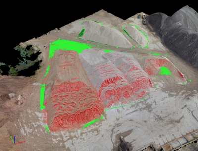
Introduction In this lab we learned how to calculate pervious and impervious surface area through the "Calculate Impervious Surfaces From Spectral Imagery" ESRI tutorial. Impervious surfaces or surfaces that are impenetrable to water pose a serious threat to the environment due to contaminated run-off and flooding. The environmental impact of impervious surfaces causes some civil institutions to charge landowners with high amounts of impervious surfaces on their properties extra fees. Using aerial images we can calculate the surface area of impervious surfaces by segmenting and classifying the imagery. Method Segment the Image  We began this lab by first segmenting the imagery, this will allow us to easier identify different features that are pervious and impervious. By segmenting the imagery we avoid errors in classifying the different surfaces. First, we extracted spectral bands to distinguish specific features more easily and tell if the are pervious or impe

Volumetric Analysis with UAS

Image
Introduction Conducting Volumetric Analysis with UAS imagery is a valuable and useful tool for many companies and operations. Ongoing or periodical analysis of stock piles of material will allow a business to work more efficiently and be more aware of their available material. We can conduct "cut" and "fill" operations for piles and for holes/ ditches to measure the volume of the mission area. It is very important when calculating volumetric data to have an accurate and consistent ground control points through the mission area. It is also important to have an accurate base elevation for the data, errors with the ground control points or the base elevation will result in processing errors or errors in the data that has been produced. UAS and aerial data is effective to use when creating volumetric calculations when done correctly, allowing the user to create accurate othomosiacs of the data and have a consistent geographic coordinate system throughout all of the